BIM and Digital Twins Are Easier Than You Think — Because the Drone Already Did the Hard Part
Blog
9 February 2026
BIM and Digital Twins Are Easier Than You Think — Because the Drone Already Did the Hard Part
Mention BIM to most building owners in Singapore and you can watch the shutters come down.
They picture a two-year programme. A consultant onboarding exercise. Software licences nobody will use. Surveyors in the building for weeks, on every floor, disturbing tenants. A six-figure quotation for something that produces a file the facilities team never opens.
That picture is out of date, and it is out of date for one specific reason: the measurement step — historically the slow, expensive, disruptive part — has largely collapsed. A drone can capture a complete, accurate exterior model of your building in a morning.
Which means the honest question is no longer "can we afford to do this?" It is "what do we want to do with the model we can now get cheaply?"
The assumption that makes it sound huge
Almost everyone assumes BIM means the whole building. Every floor, every riser, every duct, every partition, modelled to a high level of detail, interiors included.
That is a version of BIM. It is the most expensive version, it is the one consultants quote for by default, and for most existing buildings it is not what you need.
You can scope BIM to the envelope alone. Structure, facade, openings, roof, plant deck. Nothing internal. That model is a legitimate, useful, standards-compliant BIM model — and it happens to cover the part of your building that:
carries your statutory inspection obligations
generates the largest maintenance and repair costs over a life cycle
drives most of your cooling load
is hardest and most expensive to survey by any other method
is fully visible from the air
The envelope is simultaneously the highest-value part to model and the easiest to capture. That is a fortunate coincidence, and it is the whole basis for starting small.
Why the exterior is the cheap part
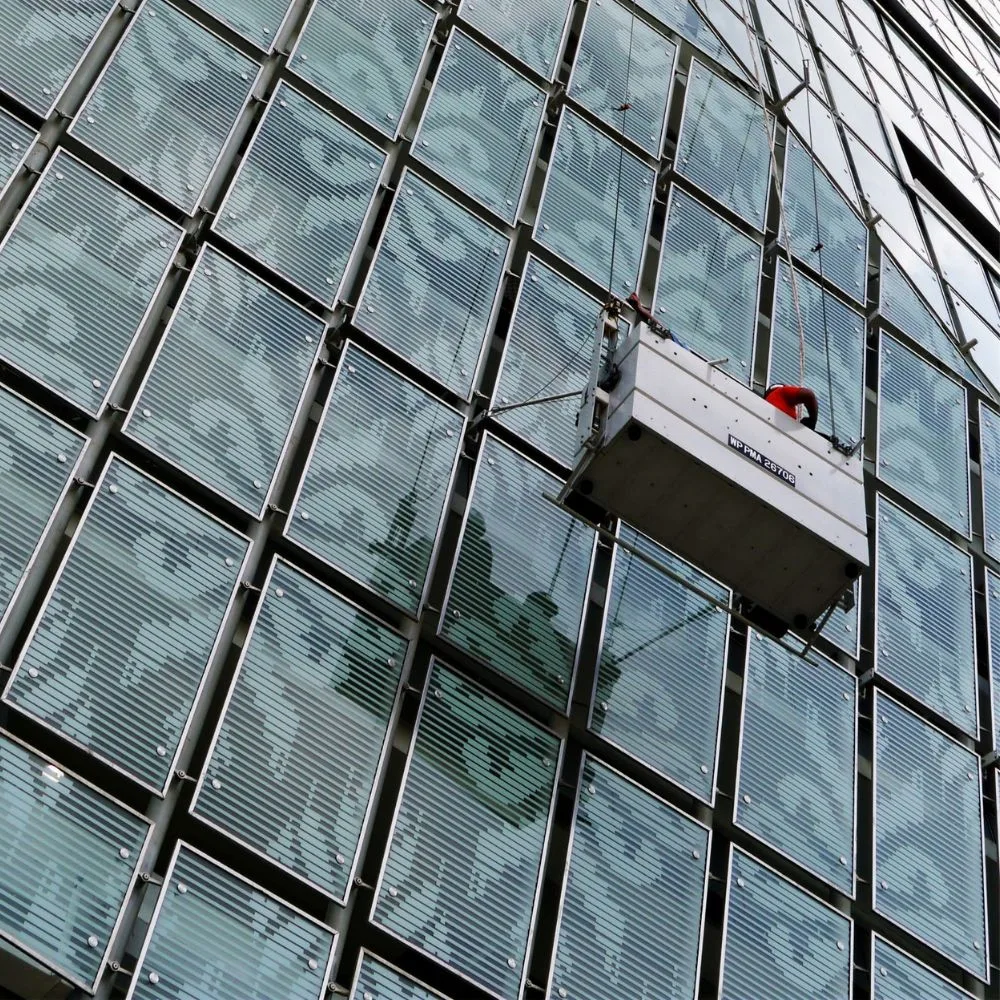
Conventional as-built surveying is slow because of access. Someone has to get an instrument next to the thing being measured. On a facade that means gondolas, scaffolding, rope access, permits, and weeks of programme — which is precisely why exterior as-built data has historically been the most expensive data in the building and the least likely to exist.
Drone capture inverts that. A structured flight — orbital passes at several altitudes, oblique coverage of every elevation, a nadir grid over the roof, generous image overlap — produces hundreds of measured images in a few hours. Photogrammetry converts them into a dense point cloud and a photorealistic mesh of the building as it stands today, including the alterations that never made it back onto the drawings.
Nobody is suspended in the air. Nobody enters a tenant's unit. The building operates normally throughout.
For most owners this is the single biggest surprise: the part they assumed would be hardest is the part that is now nearly effortless.
And it is genuinely accurate
Reassurance without accuracy is worthless, so be specific.
Well-controlled drone photogrammetry — RTK or PPK positioning, plus independently surveyed ground control points — delivers centimetre-level envelope geometry. Drone LiDAR does the same or better, and handles glazing and low light more reliably, which matters on a glass tower where feature matching struggles.
Centimetre-level is comfortably sufficient for facade asset registers, refurbishment scoping, energy and shading simulation, access planning, and defect location. It is not sufficient for fabricating replacement curtain wall panels — that needs targeted terrestrial scanning of the specific bays, which is a small, cheap add-on when and if you need it.
The honest caveat: in dense urban settings, satellite positioning degrades between towers and reflects off glass facades, producing confidently wrong positions. Ground control is what prevents that. Any provider quoting survey-grade accuracy without it is quoting optimistically. Ask the question and the problem disappears.
What the model actually gives you before it becomes BIM
Here is something else people don't expect: the drone-captured model is useful immediately, in its raw form, before anybody converts anything.
From day one you can measure any element without sending someone up, locate defects unambiguously instead of describing them, plan gondola paths and anchor positions, run shading and solar studies, generate marketing imagery from any angle, and hand contractors a spatial brief instead of a written one.
So the first step has independent value. You are not making a leap of faith toward a distant payoff — you are buying something that works on arrival and happens to be the foundation for more.
Captured at practical completion and kept alongside the asset register, that same model doubles as a documented construction record — a timestamped baseline you can point to if a defect dispute arises during the liability period.
The conversion step, honestly scoped
Turning a point cloud into BIM means fitting parametric objects — walls, slabs, columns, curtain wall systems, openings — to the measured geometry. This is real work, and no one should pretend the drone does it for you.
But two things keep it modest:
Scope. An envelope-only model is a fraction of a full-building model. You are fitting a few object families across repeating elevations, not coordinating every service in the building.
Automation. Machine learning segmentation now handles much of the tedium — classifying surfaces, detecting planes, identifying structural members and openings. Repetitive facades, which is most commercial and residential stock in Singapore, automate particularly well: model one bay properly and the pattern propagates.
Two things to fix in writing before anyone starts, because they are where scan-to-BIM projects go wrong:
Level of Development (LOD) — how much detail each object carries. LOD 300 is accurate geometry suitable for coordination and is plenty for envelope asset management. Specify what you need, not the highest number on the menu.
Level of Accuracy (LOA) — how closely the model matches the measured cloud. Different from LOD, constantly confused with it, and the source of most disputes.
Agree both, and the scope stops being open-ended. That is usually what people are actually afraid of: not the work, but the absence of a defined edge to it.
You are probably already paying for most of the data
This is the argument that changes the economics entirely for Singapore building owners.
BCA's Periodic Facade Inspection regime requires buildings more than 20 years old and above 13 metres to be inspected every seven years by a Competent Person, covering a full visual inspection and a representative hands-on inspection of each elevation. The Commissioner of Building Control has approved drone building inspection for the visual stage where the UAS operator is accredited — with the CP notifying CBC of the UAS details, being present during flights, and personally reviewing every image and reading. BCA requires defect photographs at 0.15 cm/pixel or finer.
Read that again as a data question rather than a compliance one. Every seven years, by law, someone flies your entire envelope and captures high-resolution imagery of every square metre of it.
The flight patterns for inspection capture and photogrammetric capture overlap substantially. Adding the photogrammetry pass to an inspection mobilisation you are already funding is an incremental cost, not a new project. One site attendance, one set of permits, one crew — two deliverables.
And once the model exists, each inspection cycle stops being a standalone PDF. Defects become located objects on specific panels with their own history: cycle one a hairline crack, cycle two the same crack 40% longer, cycle three spalling. That is deterioration you can measure and budget for, rather than rediscover.
A four-stage path, with an exit at every stage
You do not have to commit to a digital twin. You have to commit to the next stage only.
Stage 0 — Capture. Drone photogrammetry of the envelope, ideally alongside a facade inspection you are already running. Days, not months. Immediately useful on its own.
Stage 1 — Envelope BIM. Convert the cloud to a parametric model of structure, facade, openings and roof. Defined scope, defined LOD, defined price.
Stage 2 — Asset register. Attach data to the objects: materials, ages, warranty dates, inspection findings, repair history. This is where the model starts saving money, and much of the content already exists in your records.
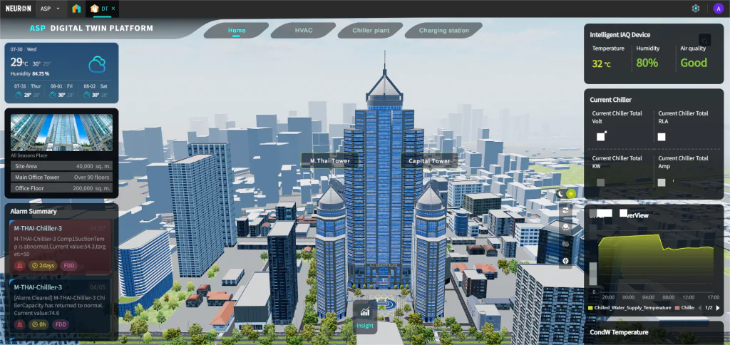
Stage 3 — Digital twin. Connect live data — BMS, energy meters, sensors, work orders. Optional, and only worth doing once stages 1 and 2 are earning their keep.
Most owners get real value at stage 1 and substantial value at stage 2. Stage 3 is a genuine step up in cost and complexity, and treating it as the mandatory destination is exactly what makes the whole thing sound unaffordable. It isn't the destination. It's an option you can take later, from a position where the groundwork is already paid for.
Five questions that keep it contained
Have you checked airspace feasibility for this address, and what is the CAAS permit lead time?
What positioning method — RTK, PPK, ground control — and what accuracy will you contractually deliver?
How are you handling the glazed elevations?
What LOD and LOA are we agreeing, element by element?
What formats are delivered — IFC plus native — and who owns the point cloud, the model and the imagery?
Question 5 is the one people regret skipping. A model locked inside a consultant's proprietary environment is a rental, not an asset. And if the same provider can serve your facade inspection, ask about accreditation: SAC operates an accreditation area for building facade inspection using drones, recognised by BCA for the PFI regime, and status is verifiable on the SAC website.
The bottom line
The fear about BIM and digital twins is a fear of scope: that it starts and never finishes, and costs whatever it costs.
Accurate drone-captured exterior models dissolve most of that. The measurement is fast, non-disruptive and cheap. The scope can be limited to the envelope, which is the part that matters most anyway. The conversion work is bounded and increasingly automated. The first stage is useful before you commit to the second. And the flight you need is one you are already obliged to fly.
You are not starting a two-year programme. You are booking a morning.