3D Building Models: A Powerful Visual Tool in Property Presence
Blog
22 May 2026
3D Building Models: A Powerful Visual Tool in Property Presence
Ask a prospective tenant to picture your building and they will picture the render from the marketing brochure. Ask your facilities manager to picture it and they will picture the leak on level 14.
A photorealistic 3D model is the rare asset that serves both.
What a drone-captured 3D model actually is
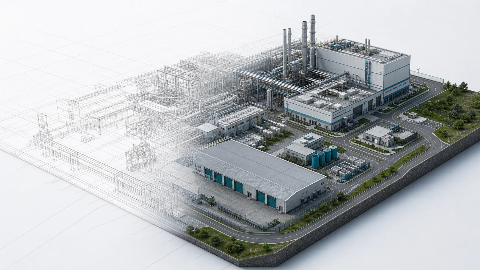
It is not an architect's render and it is not a CAD drawing. It is a measured, photorealistic reconstruction of the building as it exists today.
The process is photogrammetry. A drone flies a structured pattern — orbital passes at multiple altitudes, oblique angles across every elevation, a nadir grid overhead — capturing hundreds or thousands of overlapping images. Software identifies common features across those images, solves the camera position for each, and triangulates millions of points in three-dimensional space. Those points become a mesh; the original photographs become the texture wrapped over it.
The output is a model you can rotate, zoom, section and measure, with the real surface of the building on it — every stain, every joint, every panel.
Where higher geometric precision is required, LiDAR-equipped platforms add direct laser ranging, which performs better on reflective glazing and in low light. Photogrammetry gives you visual fidelity; LiDAR gives you geometric certainty. Many surveys use both.
The marketing case
Buyers and tenants make decisions before they visit. A 3D model lets a prospect explore the building's massing, orientation, frontage and surroundings from anywhere. For overseas investors evaluating Singapore assets remotely — a substantial share of the market — this is the difference between a shortlist and a pass.
Context is the selling point, and photographs can't show it. A ground-level photograph cannot convey that your podium connects to an MRT entrance, that your east elevation has an unobstructed view, or that the adjacent plot is a park rather than a future tower. A model with surrounding terrain shows all of it in one view.
View verification, floor by floor. Position a virtual camera at any unit and any level and show exactly what that unit sees. For high-floor premium pricing this is the single most persuasive marketing asset available, and it is derived from measured data rather than an artist's optimism.
Pre-completion sales. Overlay a design model onto captured site and surrounding context to show what a unit will see before the structure exists.
Everything downstream comes free. Once the model exists, you can generate stills from any angle, fly-through video, elevation drawings, and VR walkthroughs — without another site visit. One capture, many deliverables.
The management case
This is where the value compounds, and where most owners haven't caught up.
A dimensional record of the as-built facade. Measure any element — panel dimensions, opening sizes, parapet heights, setback distances — from the model instead of sending someone up with a tape. For refurbishment scoping, this alone can pay for the capture.
Defect location, unambiguously. "Crack on the north elevation near level 12" is a description. A pin dropped on a 3D model at the exact panel is a location. Contractors quote more accurately, and disputes about whether a defect was rectified largely disappear.
Change over time. Capture the same building on the same flight plan every few years and you have a directly comparable series. Crack propagation, staining spread, coating degradation — visible as change, not as recollection. This is the maintenance planning input that spreadsheets have never been able to provide.
Access and works planning. Model your roof anchor points, gondola travel paths, plant clearances and rigging constraints before mobilising. Fewer surprises on day one of a facade repair contract.
Solar and shading analysis. With accurate geometry and surrounding context, model rooftop PV yield, facade solar gain, and shading from neighbouring developments — relevant to Green Mark work and to cooling load reduction. This is the entry point to full building simulation.
Where it meets your PFI obligations
BCA's Periodic Facade Inspection regime applies to buildings over 20 years old and taller than 13 metres, on a seven-year cycle. If you own an asset in that bracket, the survey work is happening anyway — the only question is whether you get a marketing and management asset out of the same mobilisation.
A 3D model is not itself a Periodic Facade Inspection deliverable. But the flight that produces it and the flight that produces your inspection imagery are close cousins, and there is an obvious efficiency in capturing both.
The Competent Person conducting a PFI carries out a full visual inspection of each elevation, leveraging technology such as drones and scanning equipment for efficiency. Where UAS are used for the visual inspection, they must be operated by accredited service providers, the CP must notify the Commissioner of Building Control with the UAS details, and the CP must personally review all inspection outputs.
The practical implication: engage an accredited provider, run the inspection capture, and specify a photogrammetric pass in the same mobilisation. You pay once for site access, permits and flight time. You receive both a compliant inspection dataset and a marketing-grade digital asset.
A defect record anchored to a 3D model is also simply a better record. Instead of a spreadsheet of defects with elevation references, you get a spatial map — and when the next inspection comes around in seven years, whoever inherits the file can see precisely what was found and where.
Practical considerations in Singapore
Airspace comes first. Commercial drone operations require aviation permits, and Singapore's airspace is tightly managed around Changi, Seletar, Paya Lebar and Tengah. Check feasibility for the specific address before committing to a delivery date, and allow weeks for permit processing.
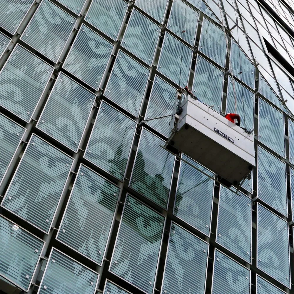
Glass is the hard part. Photogrammetry struggles with reflective and transparent surfaces — exactly what a modern commercial tower is made of. Expect a good provider to discuss LiDAR augmentation, additional oblique passes, or overcast-day capture to reduce specular reflection.
Light and weather set the schedule. Even, diffuse light gives the best texture. Harsh midday sun creates hard shadows that bake into the model permanently. Monsoon season compresses the available windows.
Density is a constraint. Tight urban plots limit standoff distance and orbit radius — see 3D mapping in dense cities. This is solvable with careful flight planning, but it affects capture time and cost.
A model is not BIM. A photorealistic mesh is a visual asset; converting it into a parametric model with object data is a separate exercise — see drone photogrammetry to BIM and digital twin.
Agree the deliverable format up front. A model you can only view in the provider's proprietary viewer is worth less than one delivered in an open format you can host, embed and hand to the next consultant. Ask about file formats, hosting, and who owns the data.
Is it worth it?
For a single marketing campaign, a 3D model is a nice-to-have with a competitive edge.
For an asset held over decades, it is infrastructure. It is your as-built facade record, your defect map, your refurbishment planning tool, your marketing library, and your baseline for measuring change — all captured in one morning of flying, and improved every cycle you repeat it.
The buildings that will be easiest to manage in 2040 are the ones being properly documented now.